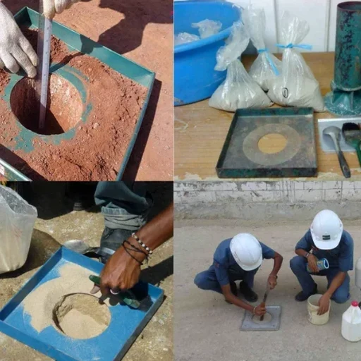
The Hampton Roads region presents a distinctive geotechnical challenge where Pleistocene-age coastal plain sediments meet the dynamic hydrology of the Chesapeake Bay estuary. In Hampton, Virginia, slope failures rarely announce themselves with dramatic landslides—instead, they progress as slow, rotational creep through the Yorktown Formation's interbedded silty sands and stiff plastic clays, often triggered by the rapid drawdown of groundwater after a nor'easter or tropical storm. Our team approaches each slope stability analysis in Hampton by first reconciling the site's stratigraphy with the long-term pore pressure regime, because a factor of safety that looks adequate under drained conditions can drop below unity once you superimpose the transient seepage forces that come with a 100-year storm event. The analysis must account for the surficial aquifer perched within the Columbia Group sands, which responds to precipitation cycles in ways that standard infinite-slope models fail to capture.
A slope stability factor of safety computed without accounting for rapid drawdown conditions in Hampton's tidal-influenced groundwater regime is a calculation waiting to be invalidated by the next hurricane season.