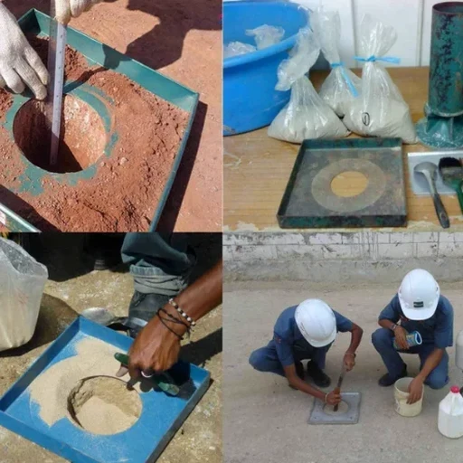
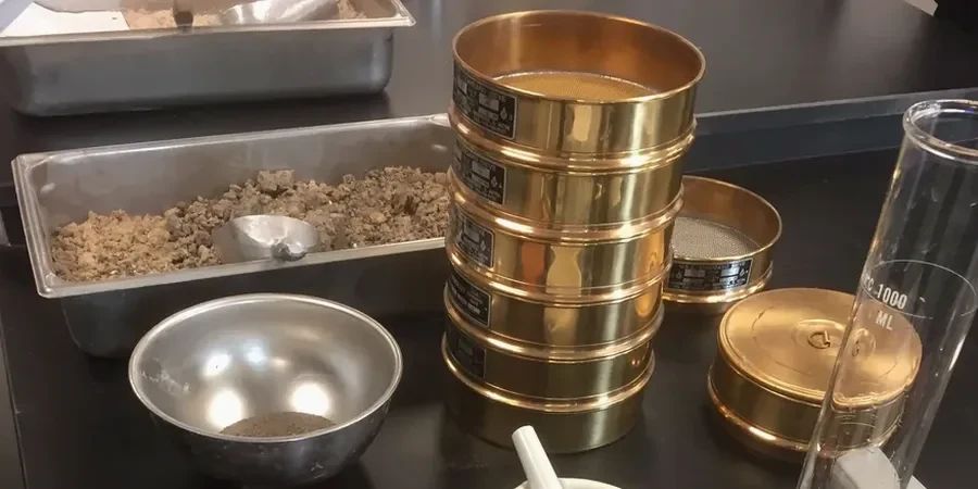
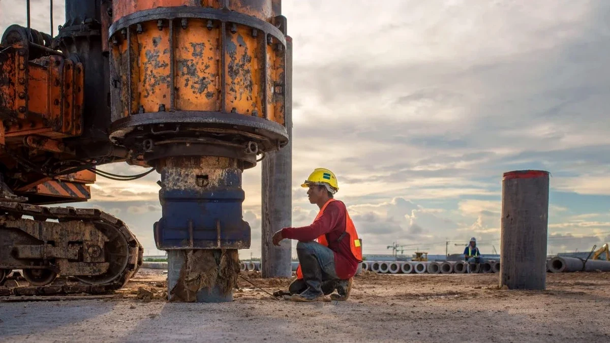
Drive from the historic waterfront of Phoebus near Fort Monroe over to the commercial corridors of Coliseum Central, and you'll cross more than just city limits. The subsurface shifts from deep, soft organic silts along the tidal creeks to the denser sands and stiff clays of the Pleistocene terraces inland. These transitions aren't academic. They dictate how the ground will shake during the next regional event. Seismic microzonation in Hampton means mapping these contrasts at block-level resolution, so a foundation design that works on Magruder Boulevard doesn't get blindly applied two miles east where the water table sits at three feet. We integrate shear-wave velocity profiling, borehole data, and site-specific response analysis to build the spectral acceleration maps that structural engineers actually need. For sites with suspect shallow layers, we often recommend pairing the study with CPT testing to capture continuous stratigraphy without the gaps that standard sampling introduces.
Two sites half a mile apart in Hampton can see a 40% difference in short-period spectral acceleration. Zoning maps don't capture that; site-specific microzonation does.