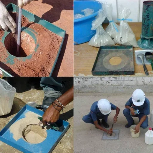
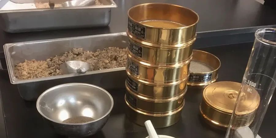
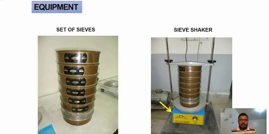
Hampton sits barely 10 feet above sea level on the Atlantic Coastal Plain, where the subsurface alternates between clean beach sands and deep, compressible silts deposited by the James River estuary. When a contractor hits gray muck at 6 feet on a Kecoughtan Road site or a residential lot in Fox Hill, the first question the geotechnical engineer asks is whether the fines are silt or clay—and that distinction comes straight from a combined sieve and hydrometer analysis. Our lab runs ASTM D422 and D6913 procedures daily on Hampton soils, pairing mechanical shaking with the hydrometer sedimentation method to build a complete particle-size distribution curve from gravel down to the colloidal fraction. For sites near the Hampton Roads Harbor Tunnel or along the Back River shoreline, we often complement the grain size curve with an atterberg limits determination on the minus-40 fraction, because plasticity tells the story that gradation alone cannot.
In Hampton, the difference between a well-graded sand and a gap-graded silty sand determines whether your footing drains or holds water against the slab.